Pavement Condition Testing
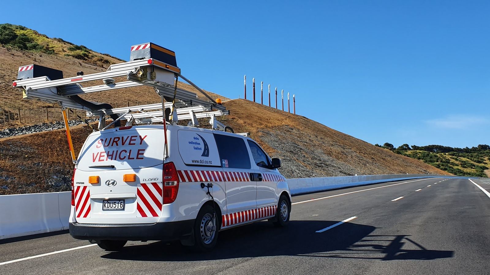


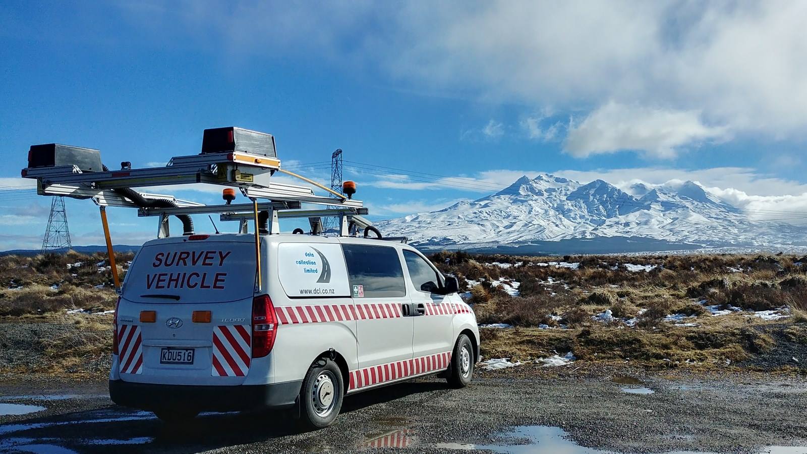
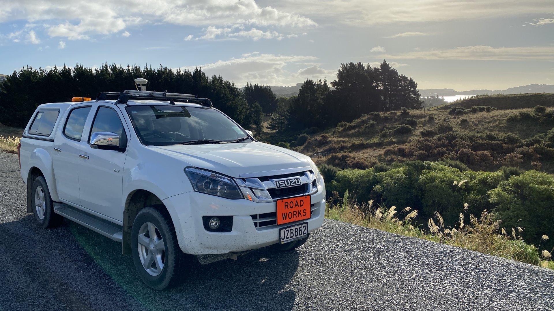

Data Collection Limited specialises in surveying roads, airports, and ports for surface and sub-surface condition, and for assets.
Pavement condition surveys provide a relatively quick tool to determine network performance, construction compliance as well as geo-location and condition of surface defects and assets. With a capable and professional team to present creative solutions, we handle simple construction compliance surveys to high level national network projects.
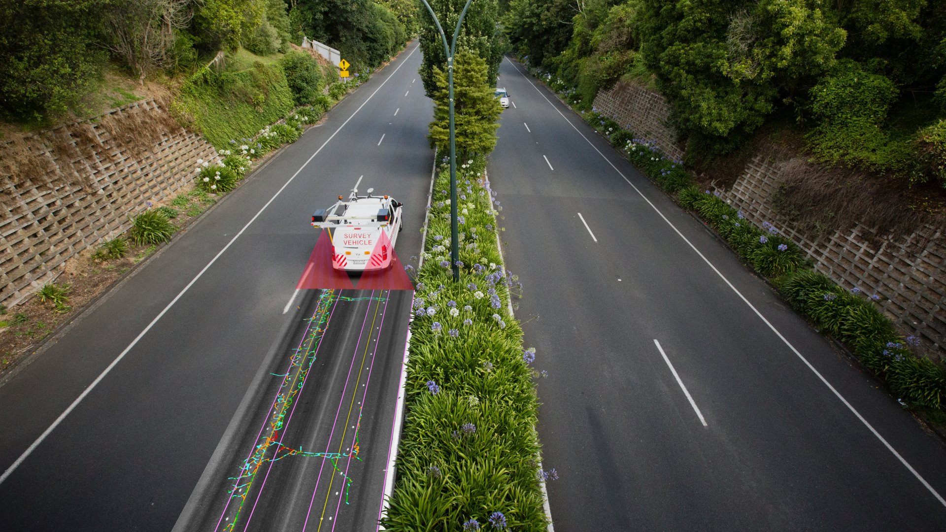
Our range of surveying services is cost effective yet uses sophisticated high-resolution survey system to collect and report high accuracy data that complies with international standards. Our equipment ranges from basic roughness profiler to high resolution Laser Crack Measurement system (LCMS) to collect data such as crack and pothole depth, rutting, and many other defects.
All data collection has a cost. Because our systems are modular, we can configure them to provide the outputs you require and meet maintenance budgets. For a full list of our surveying capabilities and outputs, click the link below. Talk to our team for creative solutions to your survey data needs.
Download Brochure Download Survey Overview

Roughness Compliance (NAASRA) Survey
Perform roughness (NAASRA) survey to ensure your projects meets specifications. This ride quality compliance is required as part of any new road builds, or rehabilitation project sign-off.
You can learn more by viewing the PDF below. Download Brochure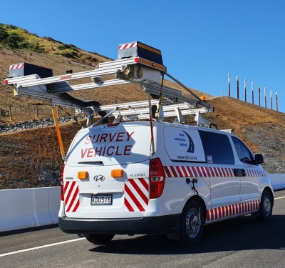
High Speed Data Survey
Using the latest technology, we offer High Speed Data surveys that typically require roughness, rutting and texture data at network level. Unaffected by ambient light, our system can also collect multitude of defects including cracking and pothole data in the same survey. The information can easily be uploaded into any PMS or GIS system.
You can learn more by viewing the PDF below. Download Brochure
Video Imagery Survey
Video imagery provides a snapshot of pavement condition. From an asset management point of view, it is used to assist in making engineering decisions and validating the forward works programmes. In construction it is proof for surface condition prior to commencing major works where construction traffic may damage the road.
You can learn more by viewing the PDF below. Download Brochure